 Open Data Science Europe Metadata Catalog
Daily maps for global daylight length at 30 arc seconds resolution (2022)
Overview:
Daily maps for global daylight length, calculated for the year 2022.
Processing steps:
For each day within the year 2022, the photoperiod (sunshine hours on flat terrain) are calculated using the SOLPOS algorithm developed by the National Renewable Energy Laboratory (NREL), USA. Resultant values have been converted from hours to minutes.
File naming scheme (DDD = day within year) (min is abbreviation for minute):
daylight_min_2022_DDD.tif
Projection + EPSG code:
Latitude-Longitude/WGS84 (EPSG: 4326)
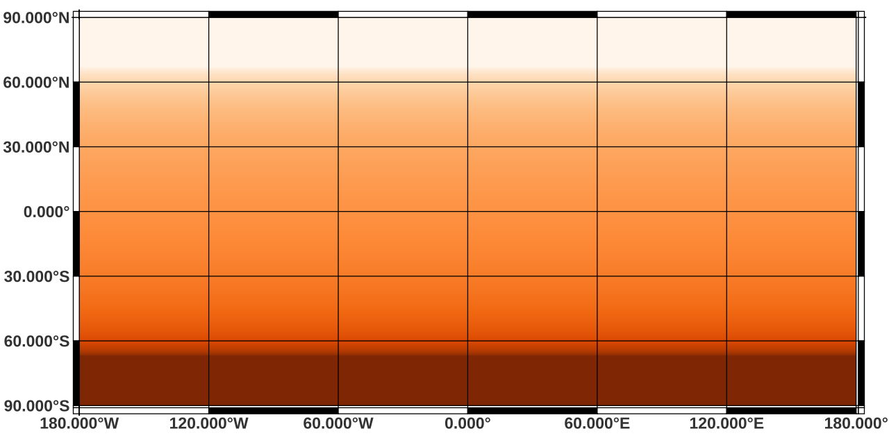
Spatial extent:
north: 90
south: -90
west: -180
east: 180
Spatial resolution:
30 arc seconds (approx. 1000 m)
Temporal resolution:
Daily
Pixel values:
unit: minutes
Software used:
GDAL 3.2.2 and GRASS GIS 8.2.0
Processed by:
mundialis GmbH & Co. KG, Germany (https://www.mundialis.de/)
Reference: National Renewable Energy Laboratory (NREL): SOLPOS 2.0 sun position algorithm (https://www.nrel.gov/grid/solar-resource/solpos.html)
Simple
- Date ( Publication )
- 2022-10-25
- Identifier
- dataset
- Status
- Completed
- Maintenance and update frequency
- As needed
- Keywords ( Theme )
-
- daylength
- photoperiod
- environment
- meteorology
- MOOD-H2020
- Keywords ( Place )
-
- Global
- GEMET - INSPIRE themes, version 1.0 ( Theme )
-
- Meteorological geographical features
- Use limitation
- None
- Access constraints
- Other restrictions
- Other constraints
- no limitations to public access
- Access constraints
- Other restrictions
- Use constraints
- License
- Other constraints
- Creative Commons Namensnennung - Weitergabe unter gleichen Bedingungen 4.0 International (CC-BY-SA 4.0)
- Other constraints
- {"id":"cc-by-sa/4.0","name":"Creative Commons Namensnennung - Weitergabe unter gleichen Bedingungen 4.0 International","url":"http://creativecommons.org/licenses/by-sa/4.0/","quelle":"Source: mundialis GmbH & Co. KG"}
- Aggregate Datasetindentifier
- optionally add identifier of reference dataset here
- Association Type
- Cross reference
- Spatial representation type
- Grid
- Distance
- 30 arc-seconds
- Metadata language
- en
- Character set
- UTF8
- Topic category
-
- Geoscientific information
- Begin date
- 2022-01-01
- End date
- 2022-12-31
- Description
- global
))
- Reference system identifier
- EPSG:WGS 84 (EPSG:4326)
- Distribution format
-
-
GeoTIFF
(
)
-
GeoTIFF
(
)
- OnLine resource
-
Daily global daylight length (2022)
(
WWW:LINK-1.0-http--download
)
Daily global daylight length (2022)
- Hierarchy level
- Dataset
Conformance result
- Date ( Publication )
- 2010-12-08
- Other citation details
- http://data.europa.eu/eli/reg/2010/1089/2014-12-31
- Explanation
- See specified reference
- Pass
- Yes
- Statement
- calculated with SOLPOS 2.0 sun position algorithm (https://www.nrel.gov/grid/solar-resource/solpos.html) developed by National Renewable Energy Laboratory (NREL)
gmd:MD_Metadata
- File identifier
- 97448e4f-e214-405a-95cc-6137f4379b6a XML
- Metadata language
- en
- Character set
- UTF8
- Hierarchy level
- Dataset
- Date stamp
- 2023-02-01T11:00:05
- Metadata standard name
- ISO 19115:2003/19139
- Metadata standard version
- 1.0
Citation proposal
(2022) . Daily maps for global daylight length at 30 arc seconds resolution (2022).
https://data.opendatascience.eu/geonetwork/srv/api/records/97448e4f-e214-405a-95cc-6137f4379b6a
Overviews
Provided by
