 Open Data Science Europe Metadata Catalog
Keyword
DTM
Type of resources
Available actions
Topics
Keywords
Contact for the resource
Provided by
Years
Formats
Representation types
Update frequencies
status
Resolution
From
1
-
2
/
2
-

Preview of the hillshading map for EU.
-
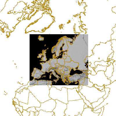
This is a cropped DTM version (with Frame2c) for providing topographic backgrouds on EEA maps. This is a hillshade of global digital elevation model (DEM) with a horizontal grid spacing of 30 arc seconds (approximately 1 kilometer).