 Open Data Science Europe Metadata Catalog
Creation year
2004
Type of resources
Available actions
Topics
Keywords
Contact for the resource
Provided by
Years
Formats
Representation types
Update frequencies
status
Scale
Resolution
From
1
-
2
/
2
-
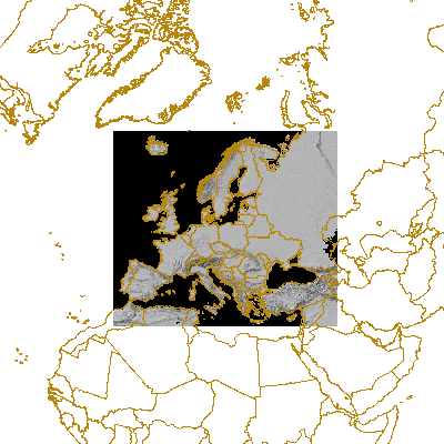
This is a cropped DTM version (with Frame2c) for providing topographic backgrouds on EEA maps. This is a hillshade of global digital elevation model (DEM) with a horizontal grid spacing of 30 arc seconds (approximately 1 kilometer).
-
OpenStreetMap (OSM) is a collaborative project to create a free editable map of the world. OSM is considered a prominent example of volunteered geographic information. Data are collected using manual survey, GPS devices, aerial photography, and other free sources. This crowdsourced data are then made available under the Open Database License.