 Open Data Science Europe Metadata Catalog
LEAC
Type of resources
Available actions
Topics
Keywords
Contact for the resource
Provided by
Years
Formats
Representation types
Update frequencies
Resolution
-
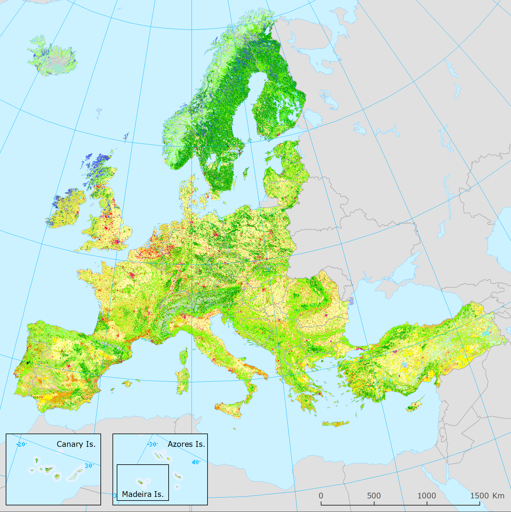
The present 100m raster dataset is the 2018 CLC status layer modified for the purpose of consistent statistical analysis in the land cover change accounting system at EEA. CORINE Land Cover (CLC) data are produced from 1986 for European (EEA member or cooperating) countries. Altogether five mapping inventories were implemented in this period, producing five status layers (CLC1990, CLC2000, CLC2006, CLC2012, CLC2018) and four CLC-Change (CLCC) layers for the corresponding periods (1990-2000, 2000-2006, 2006-2012, 2012-2018). Pan-European CLC and CLCC data are available as vector and raster products. Due to the technical characteristics of CLC and CLCC data, the evolution in CLC update methodology and in quality of input data, time-series statistics derived directly from historical CLC data includes several inconsistencies. In order to create a statistically solid basis for CLC-based time series analysis, a harmonization methodology was elaborated.